Investigadores de Cornell elaboran un mapa de las emisiones de las tierras de cultivo a nivel mundial
Facilitado por:
Publicado el
17 de febrero de 2026
Comparte esta noticia
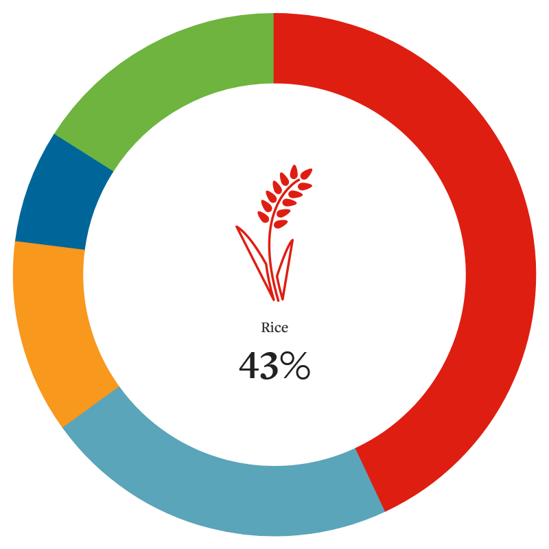
Researchers at Cornell University have utilized multiple data sources and models to map global cropland emissions at a 10-kilometer resolution. The results of this work, published in Nature Climate Change, reveal both the crops and the regions that produce the most greenhouse gas emissions. Four crops – rice, maize, oil palm, and wheat – accounted for nearly three-quarters of global cropland emissions, although the study considered 46 crop classes in total. The emissions stemmed from production practices such as draining peatlands for palm oil production, flooding rice paddies, and using synthetic fertilizers. Researchers say their data highlights opportunities to reduce emissions significantly by tailoring mitigation strategies to particular crops and locations.